What Comes After the Data Portal - Ode
What Comes After the Data Portal
We have spent years building portals for end users. These are carefully designed platforms where policymakers, journalists, advocates, and researchers can explore complex geospatial data without needing a PhD to navigate it.
And we've been giving them one path. Our path.
Every portal embeds a point of view. The principal investigator decides which layers to surface, which questions to answer, which story to tell. The dashboard reflects what the platform team thought mattered. Users arrive and find something genuinely useful, but bounded. They can see what we built for them to see. They cannot ask what we didn't think to answer.
That's the real gap. Not the data or the expertise but rather the assumption that one interpretation is enough.

The shape of the problem
The data are all here. The satellite imagery is being collected. The permit records are in the system. The migration tracks are tagged. The agricultural buildings are visible from orbit. The data, in some form usually exists. But when a policymaker needs to understand where oil pad construction overlaps with Indigenous land, or when an environmental journalist wants to know how quickly solar is expanding in a specific county, they are entirely dependent on whether someone (usually Ode) already built the answer into the platform they're looking at.
Sometimes we did. Often, we didn't.
So the user files a request. Or emails a researcher. Or waits for the next report.
We fell short.
This isn't a criticism of GIS expertise or the people who build these platforms. That expertise is real, hard-won, and genuinely irreplaceable. The problem is structural. When the platform is the only path through the data, every question that wasn't anticipated by its designers hits a wall. Every iteration costs something: time or money or impact. Whatever it costs, the insight the end user needs is sitting in the dataset, and there is no way to reach it.
All the while, what was needed is simply more than one predetermined story.
What Verse is
Verse is a conversational service that plugs into your existing environment: your website, your platform, your PostGIS database. It can also run as a standalone interface. The options are yours.
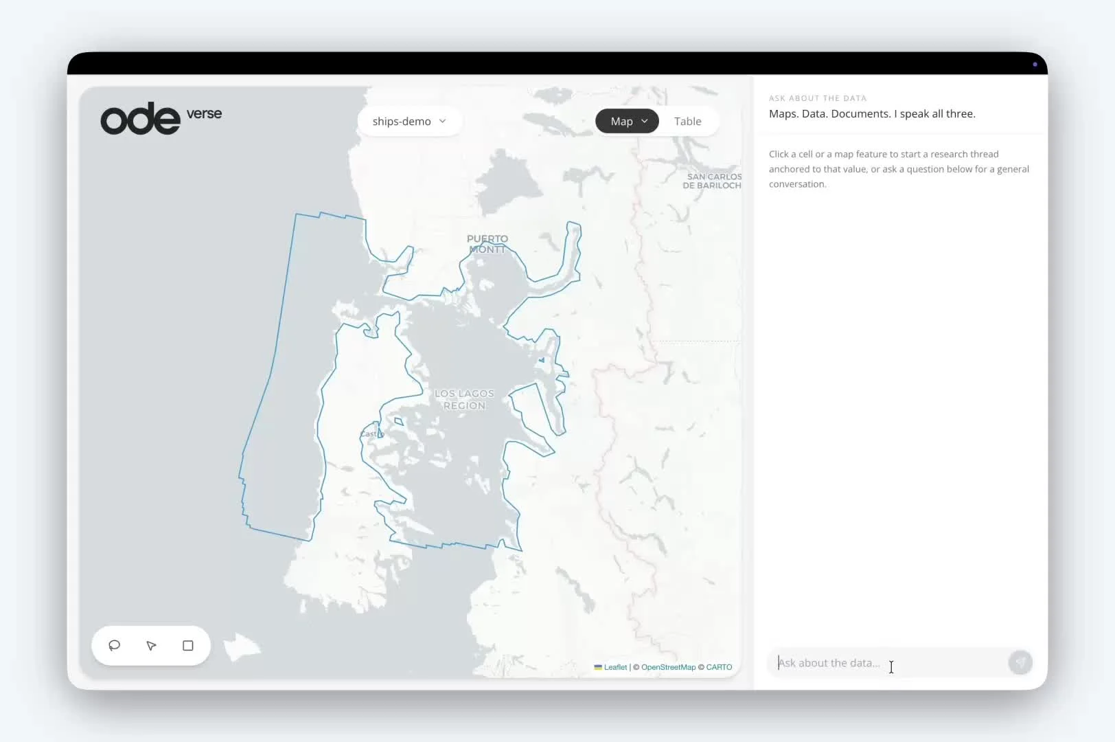
It allows you to ask a question in plain language. Verse pulls the answer from your own curated datasets, not generic training data (and not the entirety of the internet), and returns a map, a chart, and a clear response, all in the same conversation. Zoom in. Click through. Ask a follow-up. Switch the framing entirely. You can turn the crank as many times as you need, without filing another request.
Meanwhile, the backend is yours to manage. Teams can upload datasets, edit attributes and geometries, add new layers, and resolve data quality issues directly in the browser, without a data engineer in the loop. Non-technical contributors can add to the data directly. Verse isn't a read layer on a static dataset. It's a living system. Workflows and agents can then scale that curation work: identifying similar records, resolving inconsistencies, expanding datasets at a pace that manual effort alone can't reach.
This matters because the data you start with is rarely the data you end up needing. Every project reveals new gaps. Verse is built to let you fill them.
What this looks like
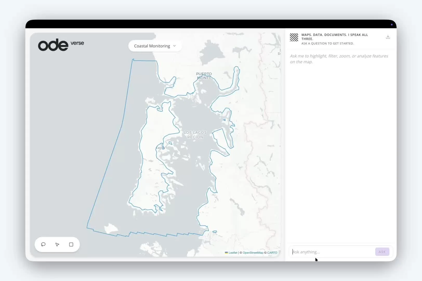
Working with LGND AI and Global Fishing Watch, a Verse-powered interface answers questions like "how many satellite images cover the area I'm interested in, and what's the cloud cover by month?" in seconds, pulling from image metadata without the user needing to know which imagery source to query or how to structure the request. But the more interesting thing is what comes next: semantic questions. "How many salmon farms are off the coast of Chile?" "Are the fire roads in Berkeley being well maintained?" The source imagery fades into the background. The embeddings do the analytical work; the images become reference and provenance. The question is all that matters.
The same principle scales up. In thirty minutes, using plain-language prompts and open aerial imagery, it's possible to identify 14,360 buildings across 2,500 clusters in Alabama, the physical footprint of the state's concentrated animal feeding operations. What makes that number meaningful isn't the technology that surfaced it. It's the judgment of the person asking. A commodities analyst, an environmental justice advocate, a policy researcher each brings a different conception of what they're looking for. As one collaborator put it: the hardest part was writing the prompt. That's the point. Verse gets out of the way so the expert can be the expert.
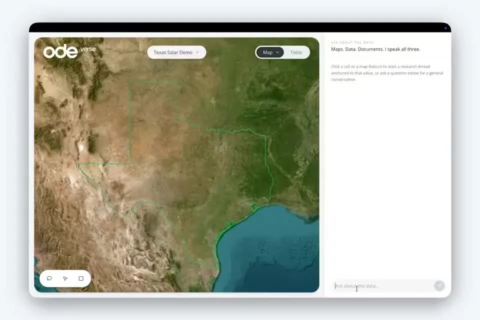
In Texas, 356 industrial-scale solar installations covering 89.2 square kilometers were mapped in under twenty minutes, detailed footprints of facilities installed between 2022 and 2025 that would previously have taken weeks to assemble.
And in contexts where speed has a literal price tag, Verse can connect Earth observation directly to that process. For instance, the former Geospatial Information Officer at the EPA and Department of the Interior has cited permit backlogs costing up to $1.5 million per day in lost economic activity, driven largely by disparate data sources. In a single conversation, you can locate recently constructed oil pads in the Permian Basin, calculate their footprints, surface the relevant reporting requirements, identify the nearest wastewater disposal well, and return the owner of record. You see the map, the regulation, and the infrastructure in the same view.
A tool, not the answer
The judgment about what question to ask, what the answer means, and what to do with it is still human work. The expertise of the analyst, the specificity of their framing, the domain knowledge they carry into the conversation, that's what makes the output valuable. Verse is a faster, more accessible way to exercise that expertise. It is not a substitute for it. And it is not a substitute for the GIS professionals who build, maintain, and validate the data layers that make any of this possible.
Geospatial storytelling is an art. Verse is a tool. Like any good tool, it should disappear into the work. Verse doesn’t tell your story.
What it changes is the economics of iteration. You don't have to wait three days to ask the next question. You don't have to wonder whether the map you received reflects your question or someone else's read on it. You can explore, refine, and find the story yourself, or hand a fully queryable, living dataset to the people who need to work with it. That's what shifts.
Why we built this
Ode works with organizations doing complex environmental and policy work. Some are mapping ocean health. Some are building the spatial evidence base for conservation decisions. Some are trying to make commodity supply chains transparent enough to hold accountable. The missions are different. And the datasets are always different. What’s the same is the data exists, and making sense of it takes too long.
We built Verse because we kept hitting that wall on behalf of our partners, and because the solution shouldn't require a custom engineering project every time. Verse is the infrastructure we built so organizations can focus on the work that matters.
Interested?
Interested in what Verse could do for your organization? Get a demo